
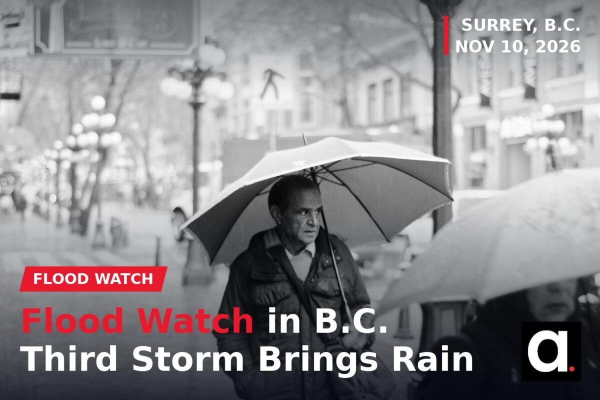
SURREY, B.C. - A flood watch is in effect for parts of British Columbia as a third storm system moves through the province, bringing heavy rain to Surrey and the South Coast today.
The BC River Forecast Centre issued the flood watch for the South and Central Coasts, Vancouver Island and Fraser Valley North, according to EmergencyInfoBC. The watch was updated on November 9, 2026.

Surrey is not listed in the flood watch area, and no Surrey-specific rainfall warning has been issued. But the city is in for a wet day. Environment Canada’s forecast for Surrey, issued at 5:00 a.m. on Tuesday, November 10, calls for periods of rain today, with 10 to 20 millimetres expected. Winds will be from the east at 30 kilometres per hour, gusting to 50 near the water, with a high of 11 degrees.
The rain is expected to end late this evening, followed by cloudy skies with a 40 per cent chance of showers overnight and another 5 to 10 millimetres. Winds will shift to the southeast at 30 kilometres per hour, gusting to 50, and to 70 near the water, with the temperature rising to 13 by morning. Wednesday, November 11, brings cloudy skies, a 30 per cent chance of morning showers, southeast winds gusting to 50, and to 70 near the water, with a high of 16.
The storm is the third system to hit the province in a short span. Environment Canada issued rainfall warnings on November 9, including an orange warning for the Sea-to-Sky region and yellow warnings for parts of the South Coast, as the new system moved in for November 10 to 12.
The new weather arrives as crews are still restoring power from the weekend storms. BC Hydro says power has been restored to 99 per cent of customers affected by the weekend storms, with about 6,000 customers still without power. Nearly 415,000 customers have been affected cumulatively since Friday. The remaining outages are concentrated in the Central Interior and around Prince George, and customers in the hardest-hit rural areas may be without power for days, with the earliest restoration expected late Tuesday. BC Hydro says its storm rooms remain active ahead of more weather.
In Zeballos, on the west coast of Vancouver Island, evacuation orders and alerts remain in place through at least Friday, November 13, with the next update scheduled for that day.
For Surrey residents, the main risks today are heavy rain, ponding on roads and gusty winds near the water. Drivers should never drive through flooded roads, since the depth and current are impossible to judge from a vehicle, and should turn around and find another route. Anyone who sees a downed power line should stay at least 10 metres back and call 911. Residents should also check that their 72-hour emergency kits are stocked, with water, food, medication and a flashlight, in case of an outage.
The flood watch means river levels are rising and flooding is possible in the listed areas. Residents in Fraser Valley North and on the South and Central Coasts and Vancouver Island should stay away from fast-flowing rivers and streams, avoid riverbanks and keep up to date through EmergencyInfoBC.
(Source: EmergencyInfoBC, November 9, 2026; forecast: Environment Canada, November 10, 2026; outage figures: BC Hydro, November 9, 2026)