
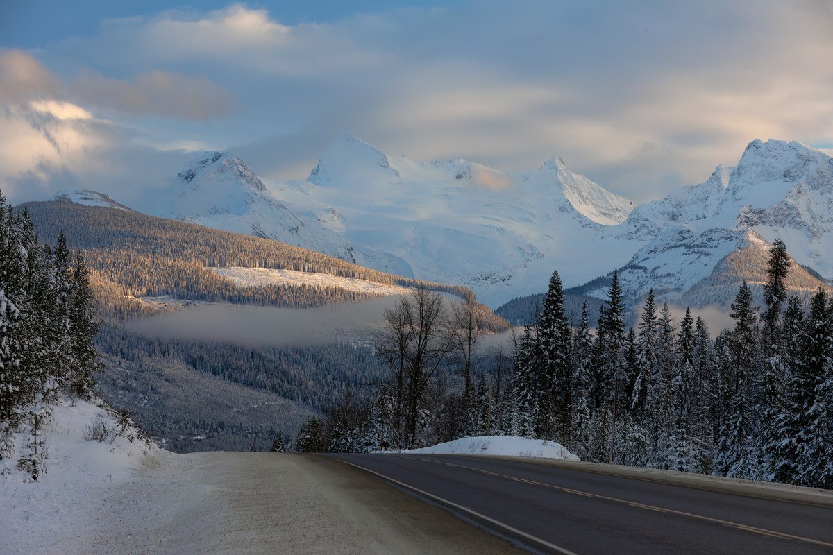
Mountain passes can turn from sunshine to slush, ice and heavy snowfall inside one trip.

Key Takeaways
- Winter tires or chains required on most B.C. highways, October 1 to April 30.
- Check DriveBC before every trip; recheck at stops.
- Carry a grab-and-go emergency kit.
- Use provincial rest areas, never a highway shoulder.
Contents
- Which highways need winter tires?
- How do I check road conditions?
- What should an emergency kit contain?
- Where can I stop safely?
- What about avalanche areas and passes?
Which highways need winter tires and when?
Winter tires or chains are required on most B.C. highways from October 1 to April 30; on routes without mountain passes or heavy snowfall the requirement ends March 31. A winter tire carries the three-peaked mountain and snowflake symbol or an M+S marking, with at least 3.5 mm of tread.
Signs mark the designated routes, and drivers without the right equipment may be turned around and fined. The Province recommends four matched winter tires, with at least two matching tires on the primary drive axle. Many coastal areas do not require them, but the Malahat does.
How do I check road conditions before I leave?
Check DriveBC before every winter trip for highway conditions, closures, webcams and weather forecasts, and check the forecast again for each mountain pass on your route, because conditions can change fast with elevation. Do not rely on a single check at home: recheck at stops if the weather is turning.
DriveBC is the Province’s source for highway conditions and weather forecasts, with webcams, closures and rest stop locations on its map. In extreme conditions, the advice is simple: avoid driving until the weather improves. The Shift into Winter campaign is a fuller guide.
What should a winter emergency kit contain?
Pack a grab-and-go kit that keeps you warm, fed and reachable if you are stranded: ready-to-eat food and water, a phone charger and battery bank, a flashlight with extra batteries, a first aid kit, warm clothing and an emergency blanket, plus a shovel, jumper cables, a tow rope and flares.
PreparedBC recommends a battery or hand-crank radio, extra batteries, personal medications, copies of documents, cash, a local map, a whistle and Help/OK signs, plus a scraper, snow brush and washer fluid. The full list is on ICBC’s emergency kit page.
Where can I stop safely on the main winter routes?
Use the Province’s more than 200 provincial rest areas, shown with locations, amenities and hours on the DriveBC map, rather than pulling onto a highway shoulder. Plan fuel and rest stops before mountain passes, and stop early if visibility drops or the road surface turns to ice.
Three stops to plan around are Hunter Creek on Highway 1, 11 kilometres west of Hope; The Last Spike on Highway 1, 24 kilometres east of Sicamous; and Loon Lake on Highway 97C, about 40 kilometres southeast of Merritt. Check the DriveBC map for hours and closures.
What should I know about avalanche areas and mountain passes?
Treat every mountain pass as somewhere conditions change fast: check the Avalanche Canada forecast before any backcountry stop, stay on the highway and out of avalanche terrain, and never stop below a steep slope. If the weather turns, wait it out in a town or rest area.
Avalanche Canada publishes daily forecasts with terrain and travel advice. In dark, wintry conditions, turn headlights and tail lights fully on: daytime running lights are dimmer, and tail lights do not turn on with them.
Source: Province of British Columbia, November 24, 2025

You Might Like